


SIOUX CITY -- The city of Sioux City completed a long-awaited connection to the riverfront trail in the fall.
For over a decade, bicyclists and outdoor enthusiasts waited for the city to build a section of pavement along the Missouri River that would link the city's southernmost trail, in Chautauqua Park, to Chris Larsen Park.
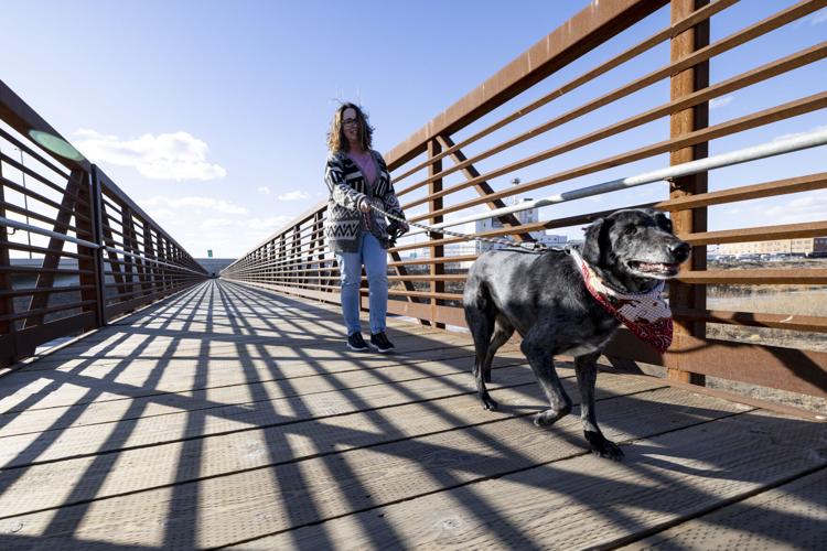
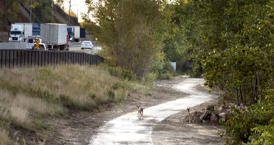
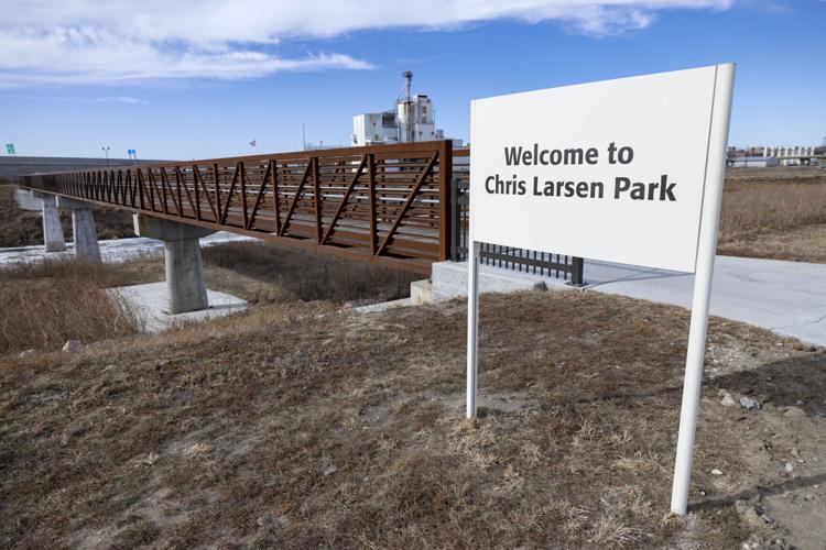
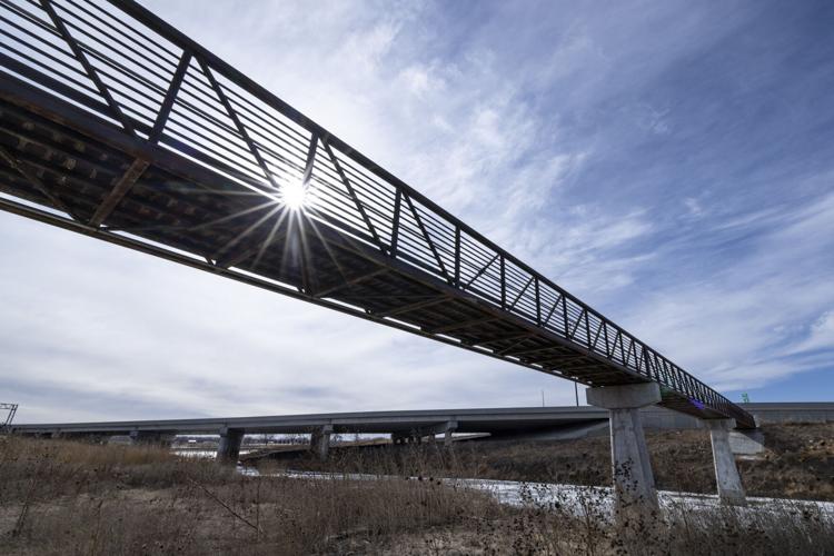
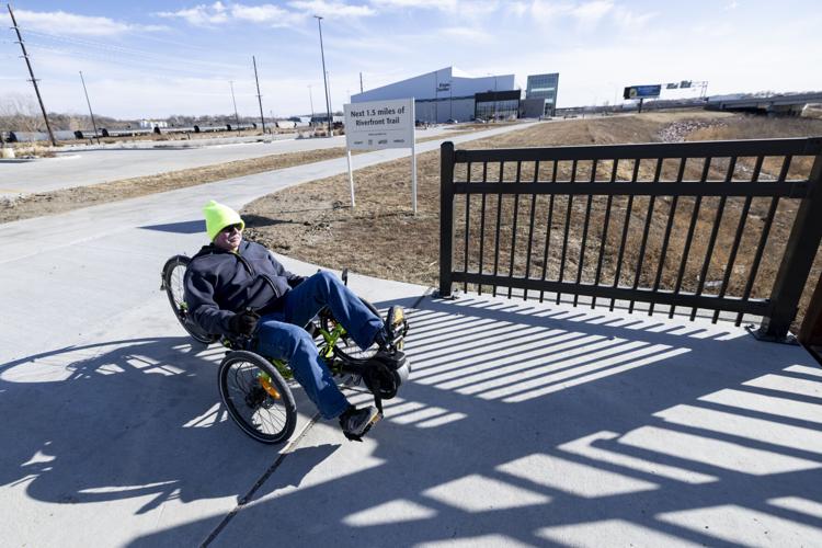
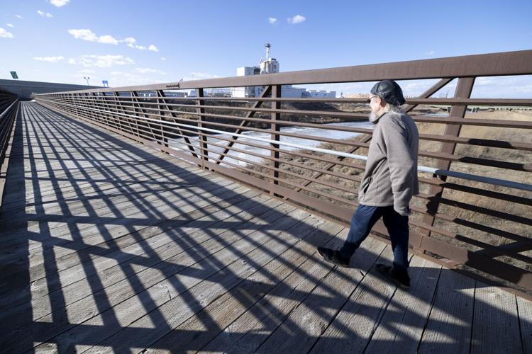
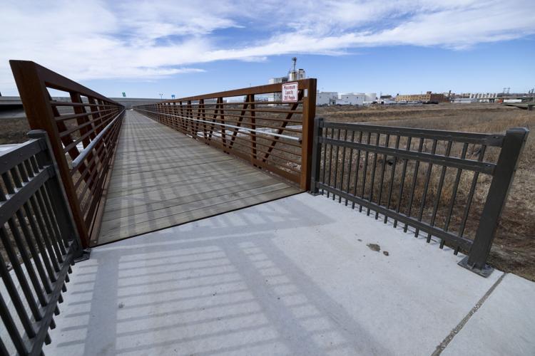
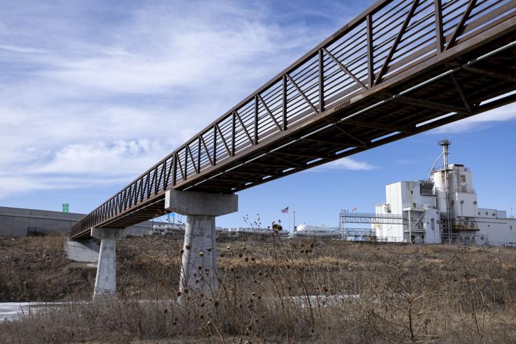
The Riverfront Trail Connection Project included the construction of 1.5 miles of recreational trail linking the existing Lewis and Clark Historic Trail, along the Missouri River, from under the east side of the Bacon Creek Channel Bridge and Pedestrian Bridge; over the Bacon Creek Channel to South Lafayette Street; over the Floyd Channel; and under the west side of the Floyd Channel Bridge to the existing trail at Chris Larsen Park.
The project was developed to enhance Sioux City's recreational trail system by improving trail connectivity from Riverside Park to Chautauqua Park. Roughly $3 million of the $3.5 million project was funded through a $1 million Missouri River Historical Development (MRHD), as well as the Iowa Recreational Trails Grant and the Iowa Transportation Alternative Program.
People are also reading…
"We are fortunate to have such a great partner in MRHD because this project would not have been possible without their generosity and support," Parks and Recreation Director Matt Salvatore said. "This trail project is by far the most significant, as it provides users with over 12 miles of continuous trail."
The multi-year process involved getting a building permit from the U.S. Army Corps of Engineers to work in a flood plain, permission from BNSF, whose track runs through the area, building two bridges over the Floyd River and old Floyd channel and waiting for the Iowa Department of Transportation to complete some segments of the expansion of Interstate 29 from four to six lanes.
The city celebrated the trail's completion with the Mayor's Trail Ride in October, an event that began at the Siouxland Expo Center with bouncy houses, food and activities. Some attendee rode to the Anderson Dance Pavilion in Chris Larsen Park for more activities and events, while some biked all the way to Riverside Park shelter No. 7 for additional games and activities.
Salvatore said "it's been a lot of fun" seeing the city's trail system progress over the last several years.
The expanded riverfront trail now offers more than a dozen miles of continuous trails. It connects to the Floyd River trail, which extends 3.3 mile between Leeds and downtown, following the Floyd River.y that follows the Floyd River.
Salvatore said the city also will continue to pursue other connections within its trail system in the future. The City Council voted last May to adopt construction documents for the Big Sioux/Highway 12 Trail project.
The proposed 1.19-mile trail will run along the Iowa side of the Big Sioux River, traverse around the outskirts of the Sioux City Railroad Museum's property, and then run along Highway 12 to the intersection at Military Road. It is the final phase of the Big Sioux River Dike Trail project.
The trail's "loop" configuration has terminal points at the intersection of Military Road and River Drive and the intersection of Military Road and Highway 12.
In December, the council approved a consulting services agreement with DGR Engineering for phase 2 of the Big Sioux Pedestrian Bridge Crossing, which will connect Sioux City and Dakota Dunes' trail systems.
The total cost of the project is about $1.2 million, which includes the trail on both sides, the bridge and demolition. The Siouxland Trails Foundation has agreed to reimburse the city for the cost of design services for phase 2.
During a public input meeting held on Sept. 15, nearly 100 people provided input on three possible locations for the bridge. The other two locations were Two Rivers Drive along empirical foods in Dakota Dunes to the Big Sioux River Trail near Nash Street in Sioux City and north of the Interstate 29 Bridge. The consensus of those who attended the meeting was to move forward with replacing the existing pedestrian bridge or utilizing the location north of the Interstate 29 Bridge.
The Dakota Dunes Community Improvement District and Sioux City staff met several times after the meeting to review factors related to the those two options. Ultimately, the option connecting to Two Rivers Golf Course was chosen based on public input, costs and elevation. Two Rivers Golf Course is willing to work with the city on the project.